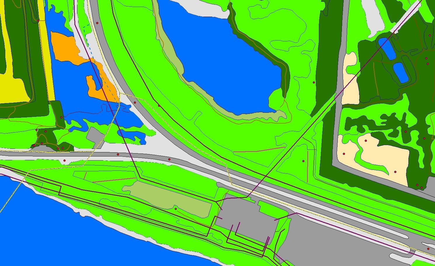
Tucked away in the basement of the Centennial Centre for Interdisciplinary Science at the University of Alberta is the ABMI’s Geospatial Centre and its team of Air Photo Interpreters. Kitted out in 3D glasses, they produce the most sophisticated and detailed land and vegetation cover data available for the province of Alberta. The data coming [...]
Archive for March, 2016
The ABMI in space! Working with NASA to examine the impacts of climate change on northern and boreal ecosystems
As we know, Alberta is experiencing a long-term change in climate. The last 100 years has already seen an increase of about 1.4oC in average annual temperature, and it’s predicted that, over the next 40 years, the average temperature will increase at an even faster rate.[1] The ABMI has been working to understand climate change [...]
Alberta Human Footprint Monitoring Program
Photo credit: Aerial view of Fort McMurray by Sara Venskaitis. Picture this. You’re flying in a small plane in the skies above Alberta somewhere near Edmonton. You look down… you see a tract of native aspen parkland, bisected by a road, and rimmed by farm fields and newly established residential areas. Pockets of industrial activity [...]