All posts in Geospatial Centre

A Deeper Dive into Human Footprint in Alberta

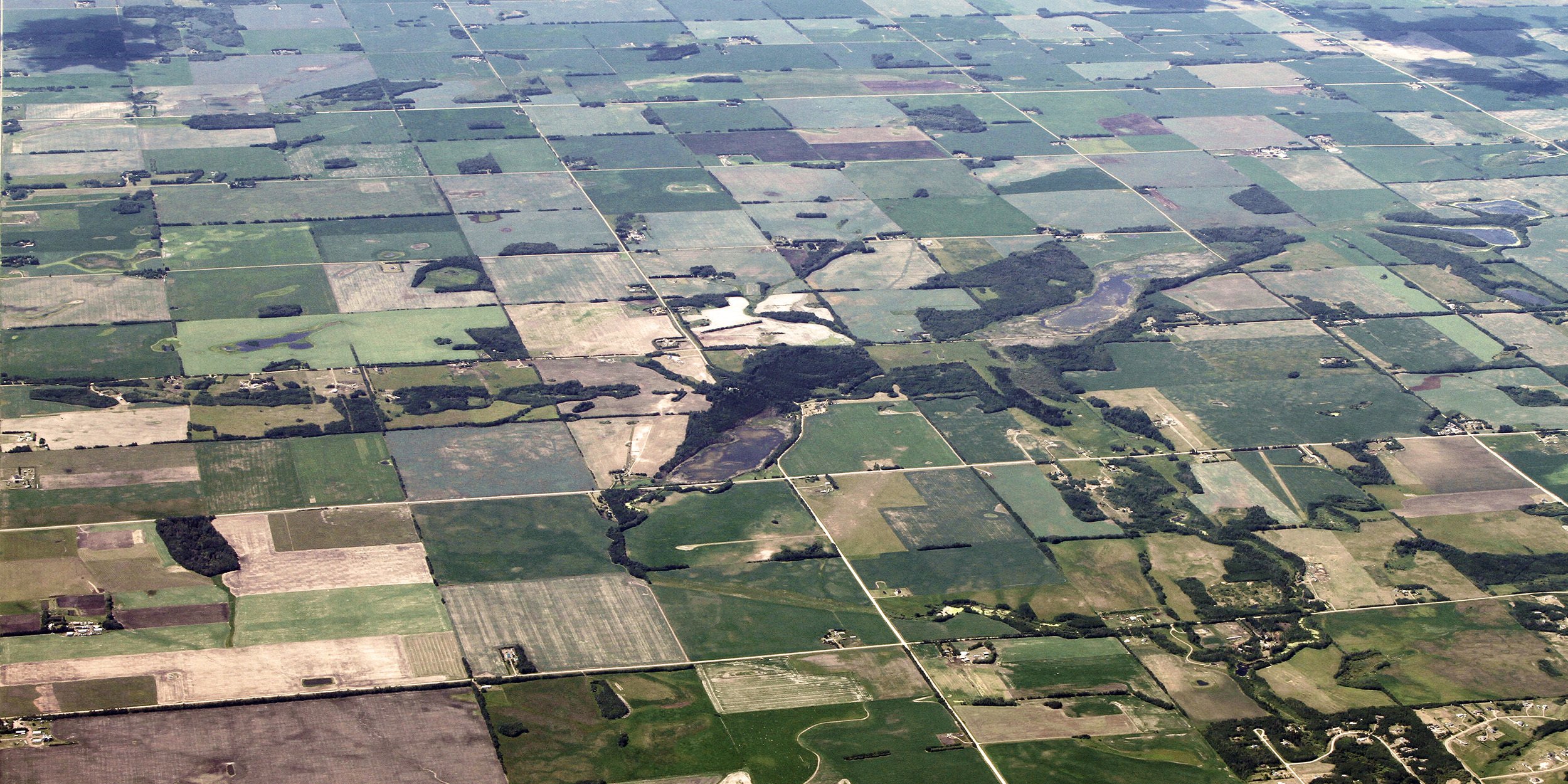
The ABMI recently released a new report on the status of human footprint in Alberta. Depending on your particular interests, you were probably struck by different aspects of the report—maybe the fact that 78% of central Alberta is now under human footprint, or the fact that in the Athabasca Oil Sands Area, that number is [...]

Alberta’s Ecosystems Shrinking Faster than the Amazon Rain Forest? Not True!

On February 7, 2018, the ABMI released a new report on human footprint in Alberta. While some media outlets provided well-informed, balanced coverage of the report, others resorted to sensationalist headlines that unfortunately misrepresented the report’s key findings. The following is the ABMI’s response to this inaccurate coverage. By Jim Herbers and Tara Narwani; Alberta [...]

ABMI Releases Preliminary Report on the Status of Human Footprint in Alberta

Between 1999 and 2015, human activity in Alberta visibly converted over 23,000 square kilometres of native ecosystems into residential, recreational, or industrial landscapes, an area 3.5 times the size of Banff National Park. Feb 9 Update: This report received extensive coverage in the media. While some media outlets provided well-informed, balanced coverage, others resorted to [...]

Who is the ABMI? Get to know Jerome Cranston, GIS Analyst

While other children were reading comic books, Jerome Cranston was poring over atlases of the world. As a child he also spent many hours in the air getting a bird’s eye view of Canadian landscapes from the cockpit of his father’s plane. “I really need a picture to understand something,” says Cranston, a GIS1 Analyst [...]

Putting our best foot forward: A new Human Footprint Inventory for Alberta

The Alberta Human Footprint Mapping Program (AHFMP)—a joint initiative of the ABMI and the Government of Alberta—has recently completed a major update to Alberta’s Human Footprint Inventory. Over the next few months, we’ll be highlighting key elements of this comprehensive new dataset. Human footprint is all around. Not the muddy kind in your front hallway; [...]

Worth a Thousand Words: Air Photo Interpretation at the ABMI

Tucked away in the basement of the Centennial Centre for Interdisciplinary Science at the University of Alberta is the ABMI’s Geospatial Centre and its team of Air Photo Interpreters. Kitted out in 3D glasses, they produce the most sophisticated and detailed land and vegetation cover data available for the province of Alberta. The data coming [...]

The ABMI in space! Working with NASA to examine the impacts of climate change on northern and boreal ecosystems

As we know, Alberta is experiencing a long-term change in climate. The last 100 years has already seen an increase of about 1.4oC in average annual temperature, and it’s predicted that, over the next 40 years, the average temperature will increase at an even faster rate.[1] The ABMI has been working to understand climate change [...]