All posts in Remote Sensing

Meet Alberta’s Wetland Atlas

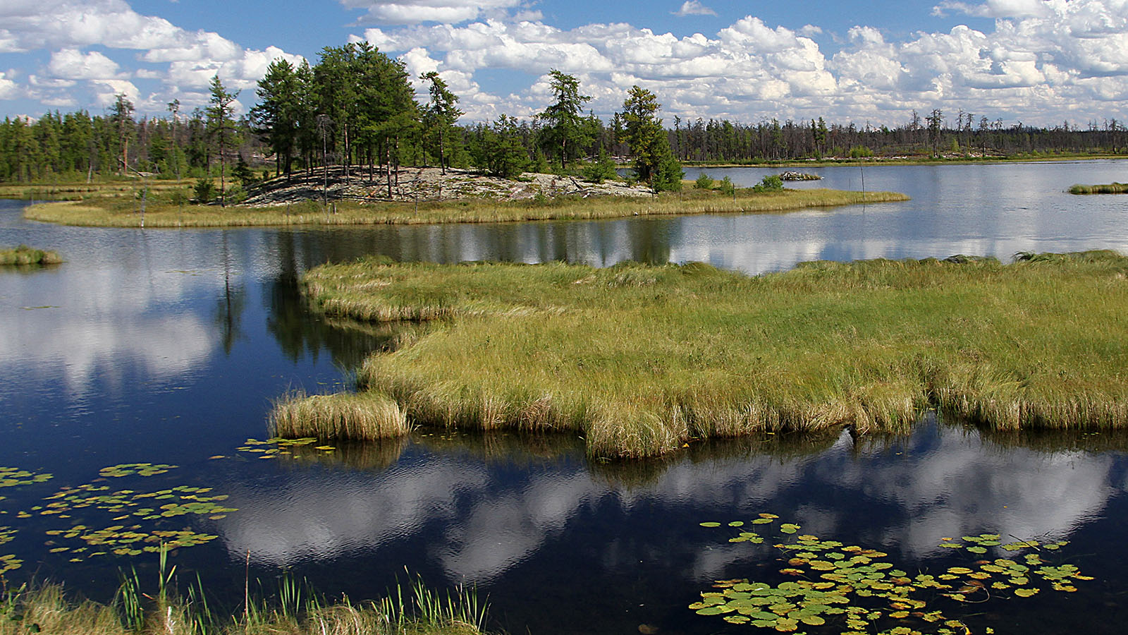
We are pleased to announce the release of version 1.0 of the Wetland Atlas of Alberta, a first-of-its-kind effort to present the results of our wetland monitoring programs in an integrated, interactive, Open-Access online report. This comprehensive new resource includes province-wide inventories of wetland habitat developed by the ABMI and data collected by the ABMI [...]

Democratizing forest regeneration tracking with Forest Matters

The following post is adapted from an article that first appeared in the spring 2022 issue of BIOS, the quarterly newsletter of the Alberta Society of Professional Biologists. Technological advances are changing the way biologists work. From number-crunching supercomputers to eagle-eyed satellite imagery, there are so many new ways to see, analyze, and make sense [...]

ABMI forest regeneration work featured on ‘Geo for Good’

ABMI Remote Sensing Scientist Jen Hird presented as part of Google Earth Outreach’s Geo For Good lightning talk series on January 27. This event has now ended. Across the field of biodiversity monitoring, technological advances are making possible new kinds of observation and analysis. Some of the biggest changes have come from the deployment of [...]

A new Wetland Inventory for Alberta

We’re pleased to announce the release of the ABMI Alberta-wide Wetland Inventory—our most up-to-date and high-resolution wetland data yet. Several years in the making, this work would not have been possible without the generous support of Alberta Environment and Parks, or the rapid advance of remote-sensing technologies. Thanks to the availability of incredible open-source data [...]

Announcing the launch of our new, enhanced Mapping Portal

We’re pleased to announce the launch of our brand-new Mapping Portal, featuring new data layers, more functions, and an enhanced user interface—all inspired by feedback from you, our users. Planned as a tool for directly viewing and interacting with the ABMI’s species and geospatial data, the original Mapping Portal was launched in 2017 as part [...]

Exploring the effects of landscape and climate change on White-tailed Deer—and what they might mean for Caribou

This article first appeared in the winter 2021 issue of BIOS, the Alberta Society of Professional Biologists’ quarterly newsletter, as part of the ABMI’s regular feature. White-tailed deer would rather not have a white Christmas. Or new years. Or any time, really. That’s according to a new paper from the ABMI’s Caribou Monitoring Unit (CMU), [...]

Seeking (and finding!) ALPHA

Content for this post, by Evan DeLancey and Kurt Illerbrun, is adapted from an ABMI feature that recently appeared in the Alberta Society of Professional Biologists’ newsletter, BIOS. If you’re interested in learning more about ALPHA, the ABMI will be presenting a webinar on the topic on February 28—register for free here. One of the [...]

A Deeper Dive into Human Footprint in Alberta

The ABMI recently released a new report on the status of human footprint in Alberta. Depending on your particular interests, you were probably struck by different aspects of the report—maybe the fact that 78% of central Alberta is now under human footprint, or the fact that in the Athabasca Oil Sands Area, that number is [...]