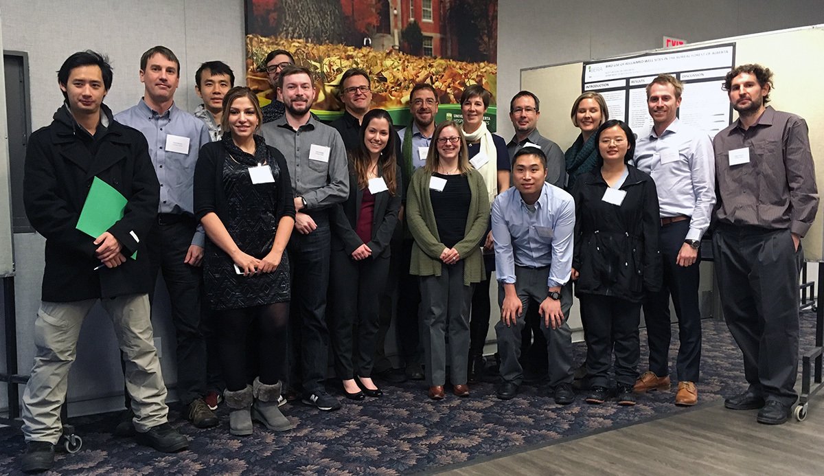
Some (but not all!) of the BERA team.
What do you get when you put together a room full of experts in remote sensing, environmental science, and the Internet of Things? It sounds like the start of a joke, but the answer is the Boreal Ecosystem Recovery and Assessment (BERA) Project. Hailing from academia, industry, government, and ENGOs including the ABMI, this diverse team is developing cutting-edge technologies and techniques that can help to measure, monitor, and predict the recovery of vegetation and some animals after human disturbance.
That certainly sounds impressive—but what does it all mean?
* * *
Human activities have a laundry list of impacts on the natural world. Many activities, like energy exploration and extraction, result in easily visible changes to the environment. These changes can be mapped as human footprint, allowing us to see the extent of human disturbance across Alberta. Of course, not all human footprint is permanent. Given enough time, forests regenerate, abandoned well sites grow over, and the visible evidence of disturbance can essentially disappear. And we can help the process along through restoration efforts: planting trees, preparing the soil to support new seedlings, and so on.

Seismic lines and well pads in northeastern Alberta are two kinds of visible human footprint.
Ecosystem recovery is of particular interest in Alberta, since industrial footprints like seismic lines and well pads usually have to be reclaimed once they’re out of use. But here’s where things get tricky. How do we decide when a disturbed area has recovered enough that it’s no longer disturbed? Should the decision be based on time since the disturbance? On visual similarity to pre-disturbance conditions? On a careful assessment of how living things are actually using the area? And even if we decide on one of these metrics, how should we measure and track it, given limited time and resources?
These are the kinds of questions that the BERA project hopes to answer. The answers, in turn, depend on detailed data and in-depth knowledge of how ecosystem recovery works, and the many challenges of developing this expertise explain why the BERA team is so diverse.
* * *
It’s 8:30 on a late November morning at the University of Alberta, and the conference room is abuzz. The BERA team and a few dozen partners, collaborators, and stakeholders mingle over much-needed coffees as the project’s first information workshop gets underway. This workshop is just the beginning—a chance to discuss goals, identify knowledge gaps, and share new ideas.
After some introductory remarks, the workshop gets down to business with a ‘lightning round’ of presentations by core members of the BERA team. The presentations touch on current projects and new results, and are backed up by detailed posters that participants can peruse later.
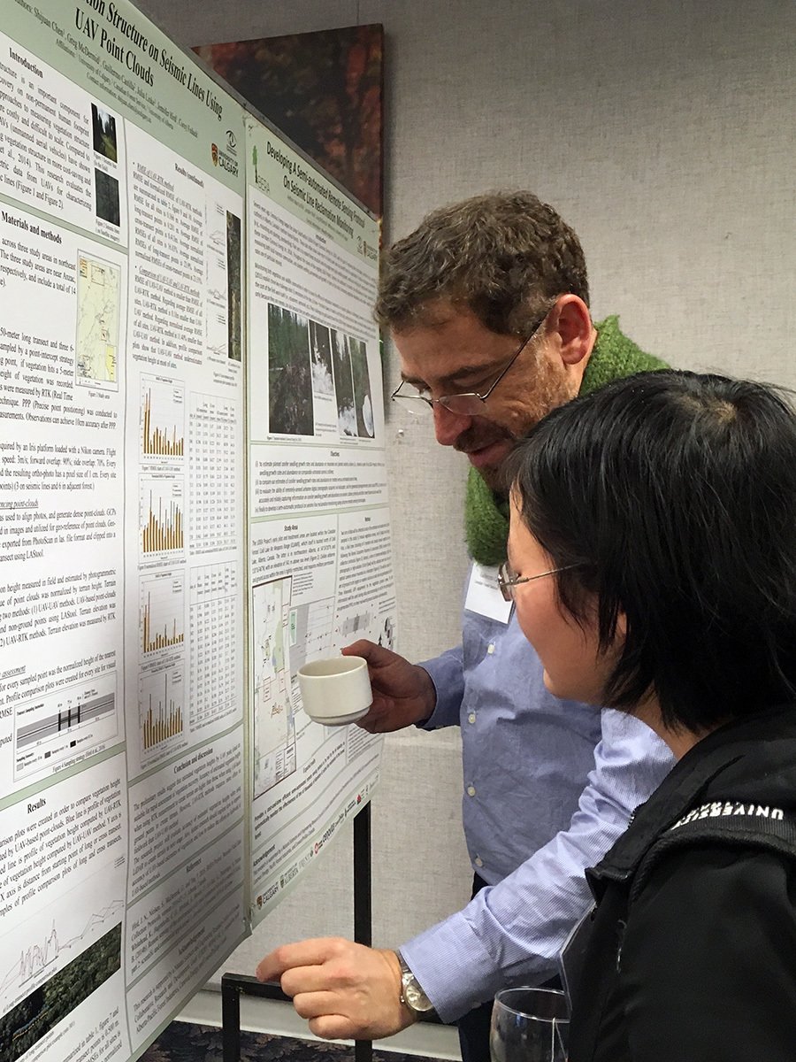
BERA team members Dr. Guillermo Castilla, from Natural Resources Canada, and Shijuan Chen, from the University of Calgary, discuss a research poster.
First, we hear from the remote sensing group, which is developing new ways to map and monitor human footprint. The group works with satellite imagery, but these days it devotes a lot of time to unmanned aerial vehicles (UAVs), or ‘drones’. UAVs can photograph a target area from every conceivable angle, building up a super-detailed 3D model that can reveal and track human footprint like never before.
Next up is the sensor group, which is working on ways to connect networks of environmental sensors—the ‘Internet of Things’, environmental monitoring style—into on-site arrays that can complement remote sensing data. Theoretically, these sensors can monitor just about anything from temperature to the sounds of nearby animals, all while operating silently, autonomously, and for months or even years on a single charge. Getting this kind of system up and running isn’t easy, but the potential rewards in convenience and detail are huge.
Finally, it’s the ecological team. This group is interested in how plants and animals respond as human footprint, such as seismic lines and abandoned well sites, recovers. In the long run, the idea is to use this information to develop statistical models that can predict ahead of time how fast a given area will recover, and to aid resource managers in addressing the impact of cumulative human disturbance.
* * *
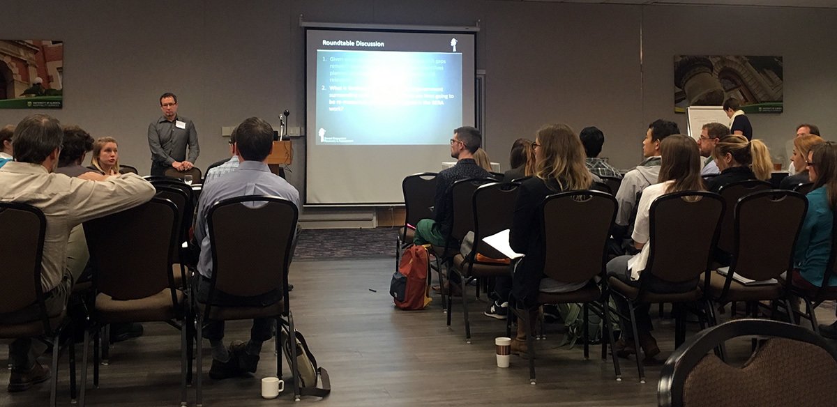
Presentations were followed by a lively roundtable discussion among the workshop participants.
These complementary research areas form the backbone of the BERA project, and should help to advance the science and practice of ecosystem recovery assessment in Alberta and beyond. But what makes the project unique is that it brings together representatives from so many fields and backgrounds in pursuit of its goals. This is made clear during the final portion of the workshop, which is designed as a roundtable discussion. The topics mostly center on how the BERA project can improve and serve the needs of more stakeholders, and the tone in the room is upbeat but realistic—this is a broad topic and there are no easy solutions. But it’s remarkable how engaged and collaborative the participants are. There’s a sense that, whether from industry, government, academia, or the ENGO community, the team members and collaborators see real value in their common objectives.
The BERA project is in its infancy, but it has a broad vision and the interdisciplinary chops to pull it off. If the expertise and enthusiasm on display at the workshop is any indication, we can look forward to some exciting things from the BERA team in the years ahead.
* * *
The BERA project is led by principle investigators and their associates from the University of Calgary, University of Alberta, Trent University, and Natural Resources Canada. Their work is supported by collaborators from the Alberta Biodiversity Monitoring Institute (Geospatial Centre and ABMI/U of A Bioacoustic Unit), Alberta Energy Regulator, Alberta Government, Foothills Research Institute, Regional Industry Caribou Collaboration, and industry partners from Alberta Pacific Forest Industries, Cenovus Energy, and ConocoPhillips. In addition to the core BERA team, the recent workshop was attended by representatives from the Alberta Data Partnership, Alberta Terrestrial Imaging Centre (University of Lethbridge), Canadian Natural Resources Ltd., Environment Canada, and Syncrude. The BERA project is funded in approximately equal parts by the National Sciences and Engineering Research Council (NSERC) and by cash and in-kind contributions from Alberta Pacific Forest Industries, Cenovus Energy, and ConocoPhillips.
All BERA workshop photos by Joelle Chille Cale. Aerial photos from the ABMI archive.