All posts in Geospatial Centre

Thi Minh Thuy Doan – Geospatial Data Scientist Developing Algorithms for Alberta’s Wetlands and Plains Bison

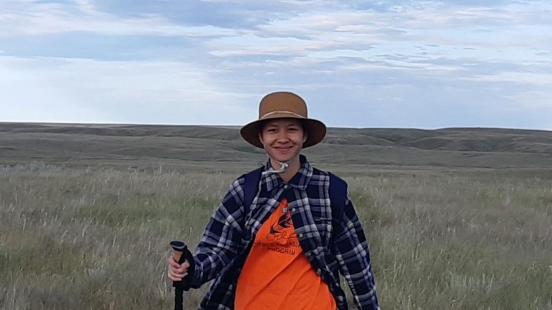
February 11 is the International Day of Women and Girls in Science. To celebrate, we are sharing an interview with Thi Minh Thuy Doan (or Thuy, pronounced “Twee”), a Geospatial Data Scientist who has supported our organization with her experience, expertise, and dedication. We asked Thuy to share insights about her professional journey, research interests, [...]

Applying remote sensing techniques to wide-scale vegetation inventories

The following blog comes to us courtesy of Sydney Toni, summarizing a recent paper in Ecological Solutions and Evidence. Ideally, the information we collect to manage wildlife habitat is many things: high-resolution, consistent, and covering all areas of interest. The gold standard of habitat assessment, ground-based surveys, provides high-quality data at particular locations but can’t cover a [...]

Monitoring Blue-Green Algae Blooms in Alberta from Space

Have you ever gone to visit your favorite Alberta lake for a swim, only to be turned away by a Blue-Green Algae Advisory? Every year, usually in July and August, many of our favorite lakes in Alberta become filled with blue-green algae, and we are told they are unsafe to swim in as a result. [...]

Monitoring & Mapping Alberta from Afar – Fiona Gregory, Geospatial Analyst

February 11 is the International Day of Women and Girls in Science. To celebrate, all February, we’ll be sharing the stories of some of the many women+ at the ABMI who have shaped our organization with their experience, expertise, and dedication. We are inspired by their hard work and the legacy that they are leaving [...]

ABMI forest regeneration work featured on ‘Geo for Good’

ABMI Remote Sensing Scientist Jen Hird presented as part of Google Earth Outreach’s Geo For Good lightning talk series on January 27. This event has now ended. Across the field of biodiversity monitoring, technological advances are making possible new kinds of observation and analysis. Some of the biggest changes have come from the deployment of [...]

A new Wetland Inventory for Alberta

We’re pleased to announce the release of the ABMI Alberta-wide Wetland Inventory—our most up-to-date and high-resolution wetland data yet. Several years in the making, this work would not have been possible without the generous support of Alberta Environment and Parks, or the rapid advance of remote-sensing technologies. Thanks to the availability of incredible open-source data [...]

Announcing the launch of our new, enhanced Mapping Portal

We’re pleased to announce the launch of our brand-new Mapping Portal, featuring new data layers, more functions, and an enhanced user interface—all inspired by feedback from you, our users. Planned as a tool for directly viewing and interacting with the ABMI’s species and geospatial data, the original Mapping Portal was launched in 2017 as part [...]

Seeking (and finding!) ALPHA

Content for this post, by Evan DeLancey and Kurt Illerbrun, is adapted from an ABMI feature that recently appeared in the Alberta Society of Professional Biologists’ newsletter, BIOS. If you’re interested in learning more about ALPHA, the ABMI will be presenting a webinar on the topic on February 28—register for free here. One of the [...]