All posts in Remote Sensing

Alberta’s Ecosystems Shrinking Faster than the Amazon Rain Forest? Not True!

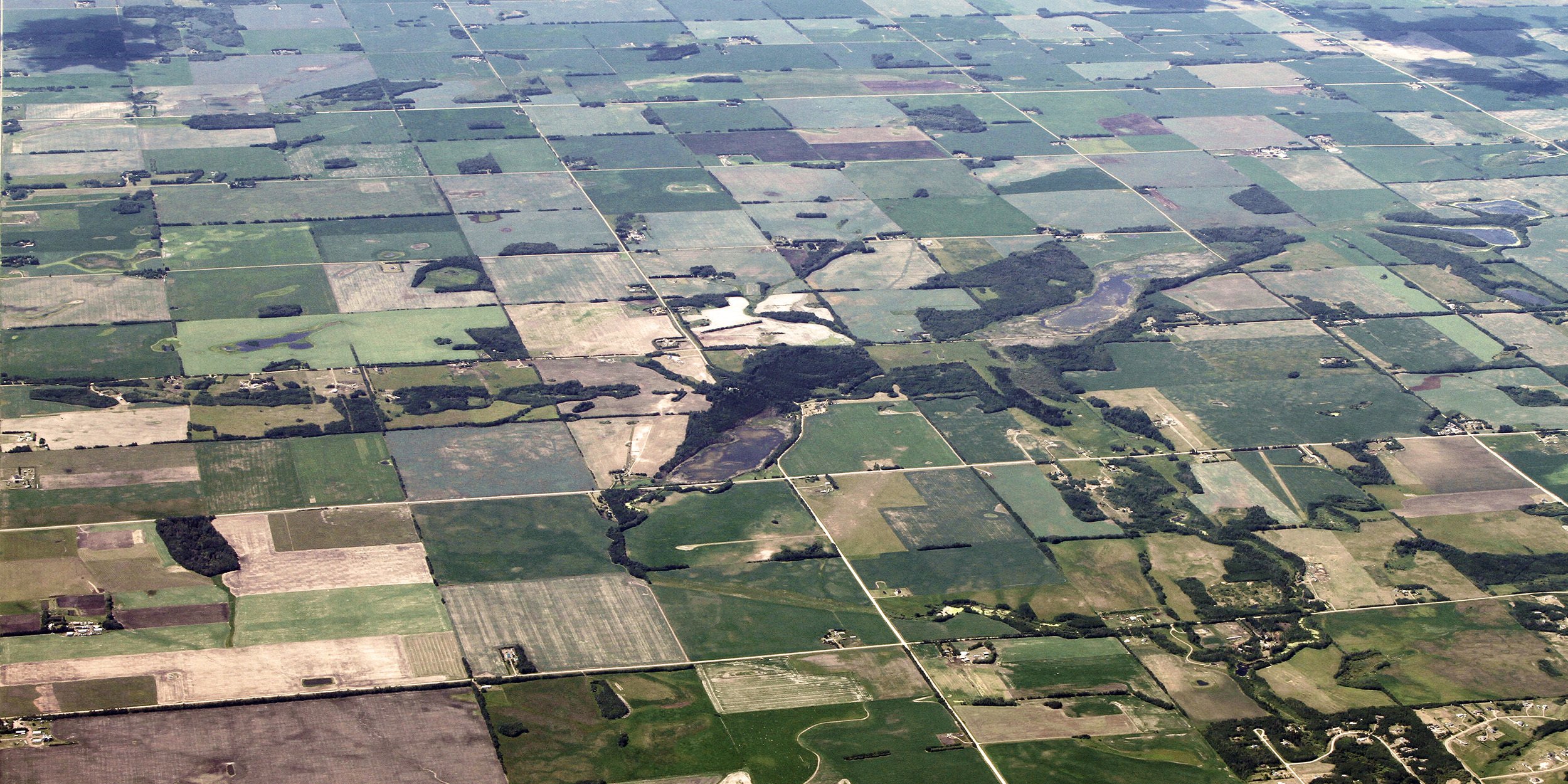
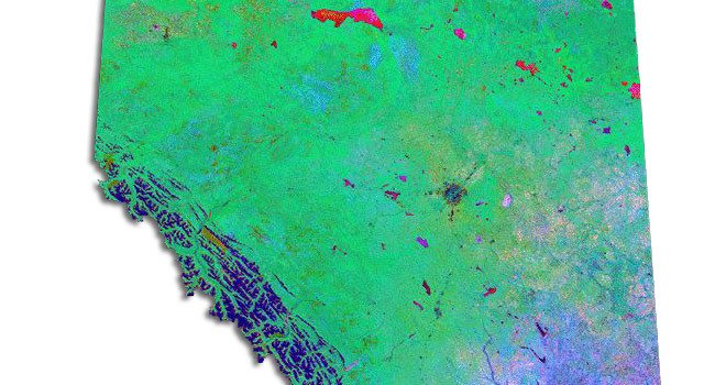
On February 7, 2018, the ABMI released a new report on human footprint in Alberta. While some media outlets provided well-informed, balanced coverage of the report, others resorted to sensationalist headlines that unfortunately misrepresented the report’s key findings. The following is the ABMI’s response to this inaccurate coverage. By Jim Herbers and Tara Narwani; Alberta [...]

ABMI Releases Preliminary Report on the Status of Human Footprint in Alberta

Between 1999 and 2015, human activity in Alberta visibly converted over 23,000 square kilometres of native ecosystems into residential, recreational, or industrial landscapes, an area 3.5 times the size of Banff National Park. Feb 9 Update: This report received extensive coverage in the media. While some media outlets provided well-informed, balanced coverage, others resorted to [...]

Who is the ABMI? Get to know Jerome Cranston, GIS Analyst

While other children were reading comic books, Jerome Cranston was poring over atlases of the world. As a child he also spent many hours in the air getting a bird’s eye view of Canadian landscapes from the cockpit of his father’s plane. “I really need a picture to understand something,” says Cranston, a GIS1 Analyst [...]

Mapping Portal

New Data & Analytics Portal Launched!

Albertans have a new resource at their fingertips that provides detailed information on hundreds of Alberta’s plant and animal species. Welcome to the ABMI’s new online Data & Analytics Portal—a one-stop-shop that provides easy access to our extensive biodiversity-related data, reports, and maps. A key part of the Data & Analytics Portal is the ABMI [...]

Putting our best foot forward: A new Human Footprint Inventory for Alberta

The Alberta Human Footprint Mapping Program (AHFMP)—a joint initiative of the ABMI and the Government of Alberta—has recently completed a major update to Alberta’s Human Footprint Inventory. Over the next few months, we’ll be highlighting key elements of this comprehensive new dataset. Human footprint is all around. Not the muddy kind in your front hallway; [...]

The BERA Project: Advancing Ecological Recovery Monitoring in Alberta

What do you get when you put together a room full of experts in remote sensing, environmental science, and the Internet of Things? It sounds like the start of a joke, but the answer is the Boreal Ecosystem Recovery and Assessment (BERA) Project. Hailing from academia, industry, government, and ENGOs including the ABMI, this diverse [...]

Introducing the ABMI’s Ecosystem Services Mapping Portal

Natural ecosystems provide many benefits—services like clean drinking water, timber, and productive harvests. Each of these “ecosystem services” is the product of complex interactions among species, landscapes, and people. This complexity also means that ecosystem services can be difficult to measure and assess. Because their value is hard to quantify, ecosystem services may be ignored in [...]

From a Bird’s-Eye View: Expanding ABMI perspectives with Remote Sensing and Geospatial Technologies

As he saw the image materialize on his computer screen, Dr. Guillermo Castilla’s exhilaration grew. “I felt like I was looking at an open book telling the history of Alberta’s landscape of the last ten years,” says Castilla, a Remote Sensing Scientist with the ABMI’s Remote Sensing Group. “If there is a picture worth a [...]